Bullock Track

This is a steep walk following an old pack track up to the Old Man Range behind Roxburgh and the Teviot Valley.
This is a steep walk following an old pack track up to the Old Man Range behind Roxburgh and the Teviot Valley. Originally used to service gold mining settlements far in the hills it is now a grassed walking track that affords panoramic views over the valley and beyond. The track is 8 km, 2 hours to the top where it concludes at a sign post and picnic table. Climbing to here will be well rewarded with the views obtained. This is an exposed track so be prepared for weather changes.
The Bullock Track starts at an information kiosk and car park 3 km north of Roxburgh on SH8. It is a right-of-way across private land; stay on the track and leave gates open or shut as you find them. After a short warm up across flat pasture land, the hill begins and shrub land and rougher pasture predominate. There is one sheltered alpine gully and creek that makes a pleasant spot for a break. You will find tracks leading off in different directions once you have reached the end of this walk so further exploring may be done.
Return the way you came or take the longer route and descend the Mt. Hope Road to Coal Creek and return along SH8. This track is steep and rough in places: good footwear and water recommended.
 How to find Bullock Track
You may also be interested in...
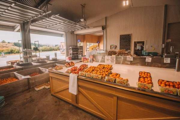
Fairview Orchard
Roxburgh
Living and breathing the historic Fairview Orchard in beautiful Roxburgh, Central Otago. You'll find our summer fruit, vegetables, coffee, real fruit ice creams, local and New…
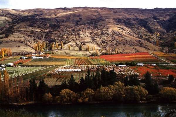
Teviot Orchard Company
Roxburgh
We are a company comprising of orchards and a packhouse in Central Otago, New Zealand; Predominately Teviot Orchard and Clutha Packing Centre.
Berryland
Roxburgh
Located in the beautiful Central Otago region, situated 4 kms north of Roxburgh, Berryland specialises in growing top quality berries, stonefruit and vegetables direct to the…